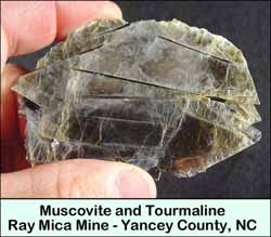
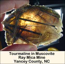
RAY (WRAY) MINE
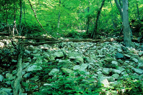
Ray Mine Dump Pile |
(click on pictures to enlarge)
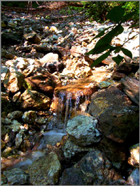
Ray Mine Creek
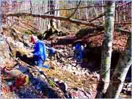
Ray Mine McRockhounds | |
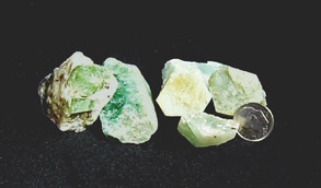
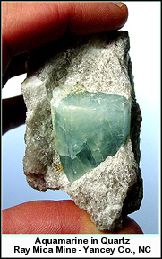
Golden beryl and aquamarine crystals
|
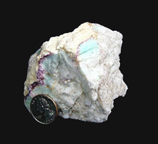
Fluorite, amazonite
and quartz
 | |
(click on pictures to enlarge)
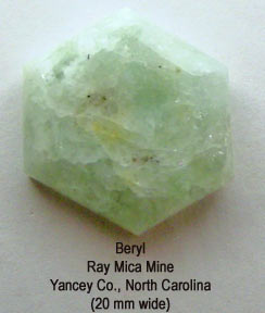
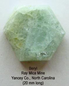
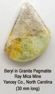
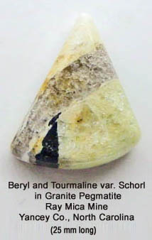
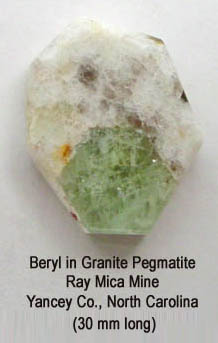
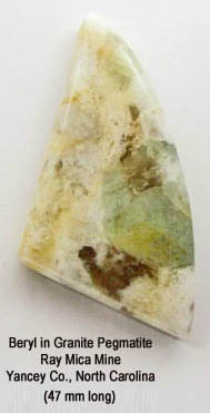
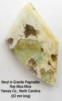
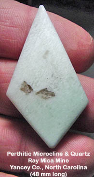
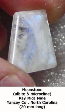
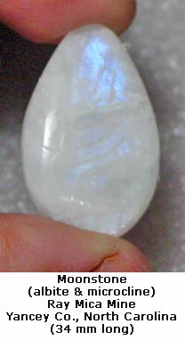
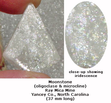
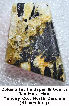
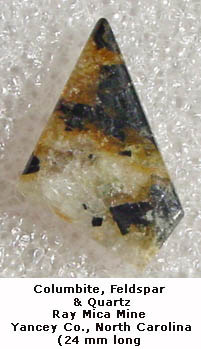
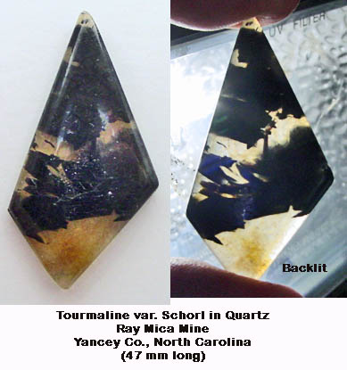
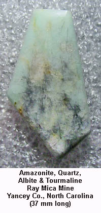
I made the following cabochons from material collected from this mine (cab pictures do not enlarge):
ATTENTION: On April 7, 2014, I was made aware that the forest service had amended its North Carolina rockhounding policies. The new policies are listed on the following web page:
http://www.fs.usda.gov/activity/nfsnc/recreation/rocks-minerals/?recid=48112&actid=59
As you can see, picks and shovels are now considered mechanical and no longer permissible to use. Although not specifically stated in the new policies, it is my understanding that no digging whatsoever is allowed at any North Carolina National Forest location, including the Ray Mine.
|
Click logo below to return to HomePage

|